


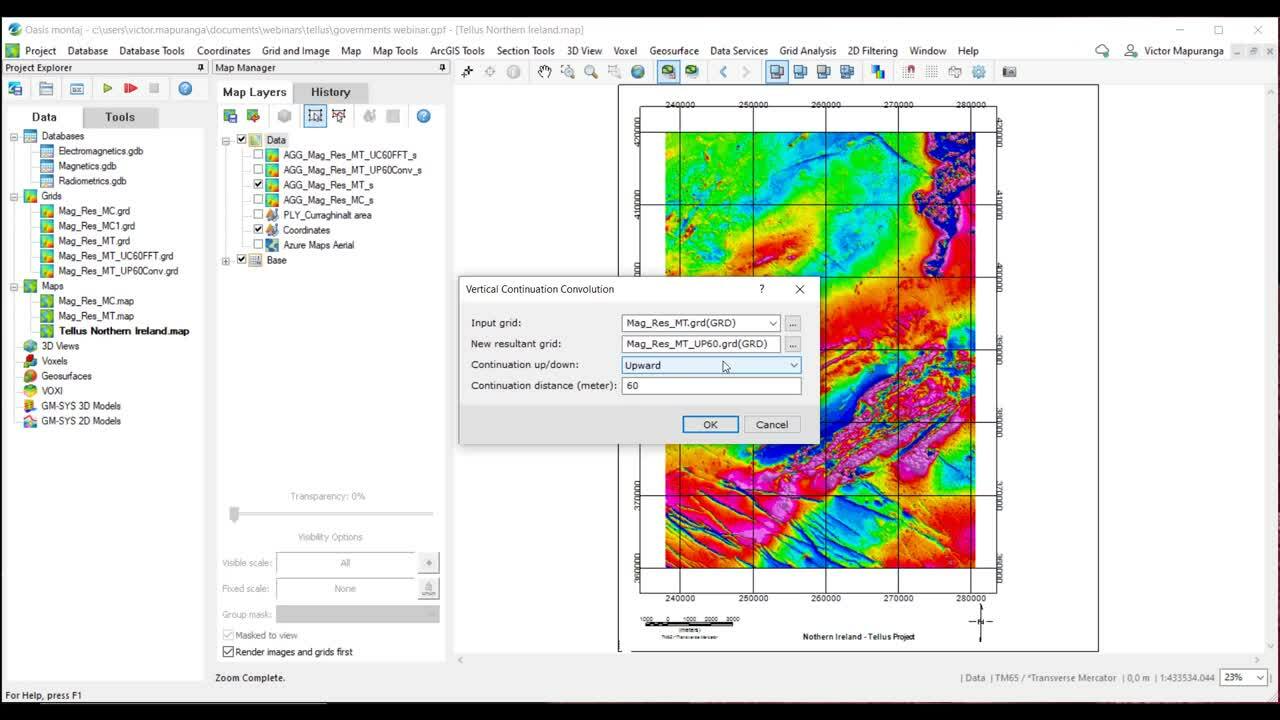
This webinar shows how Oasis montaj may be used to integrate geophysical and geological datasets from the Tellus Survey of Northern Ireland.
We aim to map and characterize the survey area and identify features that may be critical for resource exploration. We apply appropriate processing of airborne geophysical data to provide a more profound understanding of key geophysical parameters for detecting and identifying interesting targets. Various filtering and enhancement methods for grid texture analysis, lineament detection and structural interpretation are utilized with national geoscience datasets.
Overview
Speakers
Birgit Woods
Victor Mapuranga
Duration
19 min
See more on demand videos
VideosFind out more about Seequent's mining solution
Learn moreVideo Transcript
The video transcript gets copy and pasted here