


Geosoft received a positive response from the Esri Mining User Group (MUG) when it presented the release of Target for ArcGIS 4.0 at Esri’s International User Conference in July.
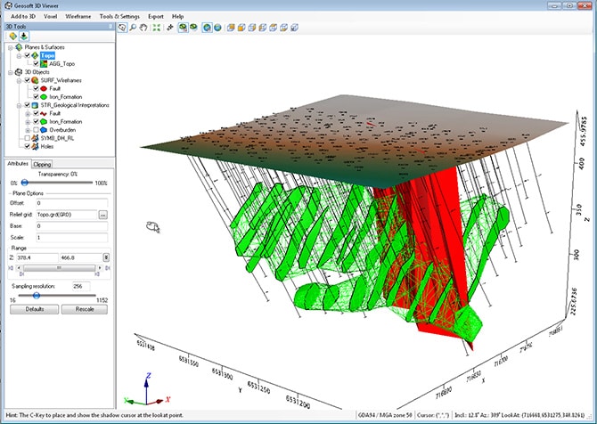
The new release allows explorers to create and share geological interpretations from 2D sections more effectively using a streamlined workflow that is fully integrated with ArcGIS. A single database stores the interpretations for each drill project, while a new wireframing workflow enables explorers to join interpretations together to create 3D geological models.
Target for ArcGIS 4.0 simplifies the task of creating 3D models by:
- streamlining the laborious process of digitizing of 2D data to create interpretations as smoothly and efficiently as possible
- increasing the accuracy of interpretations by leveraging familiar tools in ArcGiS to snap to drillhole data off-section as well as information within the frame
- allowing colleagues to share wireframes either as Geosoft surface files or in ArcScene
Equally valuable are tools that automatically create multiple 3D contours from a voxel and write the results to a single, shareable file. A new option for voxel math expressions allows voxels to be clipped to the edges of a closed 3D surface.
“Explorers will find it much easier to model and share drill hole data using familiar ArcGIS editing tools,” says Steve Randall, VP, Marketing for Geosoft. “You can quickly join together section interpretations to build wireframes, create multiple isosurfaces, and search and download datasets more quickly and efficiently – all within the Esri environment .”