


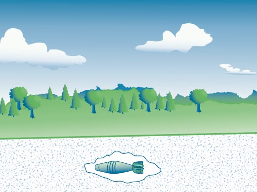
Finding and clearing buried grenades, artillery shells and other munitions – also known as unexploded ordnance (UXO) – can be difficult, expensive and time-consuming. The goal is to ensure public safety and safeguard the environment and that means cleaning the site as thoroughly as possible. A key challenge in UXO investigations is discriminating between UXO and harmless metallic objects. Is it a bomb or a pop can?
New approaches for geophysical classification of UXO are helping to save time and money by reducing the excavation of harmless debris. The methods involve the use of electromagnetic sensor data to measure, analyze and classify metal objects in the ground. Geophysical classification has proved especially useful in differentiating between hazardous munitions and metallic debris, reducing the number of harmless items excavated by up to 80%.
These and other advantages are explained in a series of fact sheets on Geophysical Classification for Munitions Response (GCMR) published by the Interstate Technology & Regulatory Council (ITRC), a coalition of private- and public-sector organizations based in Washington, D.C. The fact sheets and other resources published by the ITRC provide useful information for scientists, engineers, and environmental professionals, as well as state and federal regulators, project managers, and technical staff involved in munitions response projects.
Geophysical Classification Fact Sheets
The latest update to the GCMR fact sheet series, published in October 2014, presents the results of the Geophysical Classification Pilot Program, initiated by the U.S. Department of Defense (DoD). At multiple military sites around the U.S., geophysical classification was used to identify targets of interest, in some cases with 100% accuracy.
The first fact sheet, published two years earlier, gave an overview of the geophysical classification process and explained how the geophysicist’s ability to estimate the depth, size, density, wall thickness, and shape of each buried item is crucial in determining whether an object should be excavated or left alone.
The second fact sheet, published in June 2013, explained the geophysical classification technology and process, the types of terrestrial sites where this technology may be applicable, and data quality considerations. The document notes that there are three steps involved in geophysical classification:
First, advanced electromagnetic induction (EMI) sensors are placed on the ground at locations where potential UXO targets have been found with standard mapping geophysical surveying methods. A pulsing electric current produced by the sensors generates a magnetic field which interacts with any metal objects buried nearby to create a secondary magnetic field. Then the primary inducing field is quickly turned off and the secondary field produced by the metal objects is recorded.
The whole process takes about thirty seconds during which time thousands of spatial and temporal measurements are recorded from various angles and locations. These EMI responses are influenced by the size and shape of each object and its location relative to the sensor.
Geophysicists and munitions response teams are building a library of EMI responses with which to analyze and classify new objects using Geosoft Oasis montaj and UX-Analyze, the software most commonly used in the UXO industry to classify anomalies.
A partnership of Geosoft with the U.S. Army Corps of Engineers (USACE), the Environmental Security Technology Certification Program (ESTCP), Acorn Science & Innovation (and previously Leidos Inc.) and the UXO research community has resulted in new workflows, such as UX-Process and UX-Analyze, and overall improvement in technology for increasing accuracy and reducing risks in UXO detection and environmental clean-up.
Regulation
Overseeing the geophysical classification process presents a unique challenge for regulators. Toward that end, the ITRC’s fact sheets outline the roles of state and federal environmental regulators, as well as project managers, technical personnel, contractors, customers, suppliers, scientific experts, stakeholders, and so on.
The ITRC stresses that communication within teams and among regulators, scientists, stakeholders, are essential in the safe, efficient application of geophysical classification for munitions response.