Providing data integrity from ground to cloud ensures your teams no longer waste their time battling with disparate geoscience data.
A 3D geological engineering model will change how you and your stakeholders look at the ground beneath your project, bringing clarity to even the most complex subsurface conditions.
When possible, data gaps between boreholes can be filled by appropriate geophysical data, giving more confidence in subsurface conditions.
By watching this video you will learn:
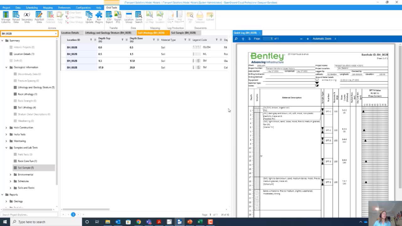
- Collecting data in the field with OpenGround’s Data Collector and seamless data transfer through the Cloud to OpenGround
- How you can integrate all of your borehole data and geophysical data to create a ground model that accurately portrays the subsurface geology
- Seamless data integration between OpenGround and Leapfrog, and Oasis montaj and Leapfrog via Central
- Compare first–pass geological models in Leapfrog with 2D and 3D geophysical models to better map subsurface units
- Working with a single source of truth to communicate with colleagues throughout the lifecycle of the project
Duration
38 min