


Transform core images into meaningful insights, more discoveries and confident decisions with cloud-based software Imago.
A better understanding of our geology is the true value data can bring and is crucial to the efficiency and productivity of any exploration and mining operation.
“You want to be able to easily capture and integrate all your geoscience data, including images, so teams can collaborate – without barriers – to confidently make quicker, more strategic decisions,”
says Rob Ferguson, Segment Director of Exploration and MRM, at Seequent.
“Even small improvements made at this early image capture stage can help to make timely decisions in the field and have a significant impact on the bottom line,” says Rob.
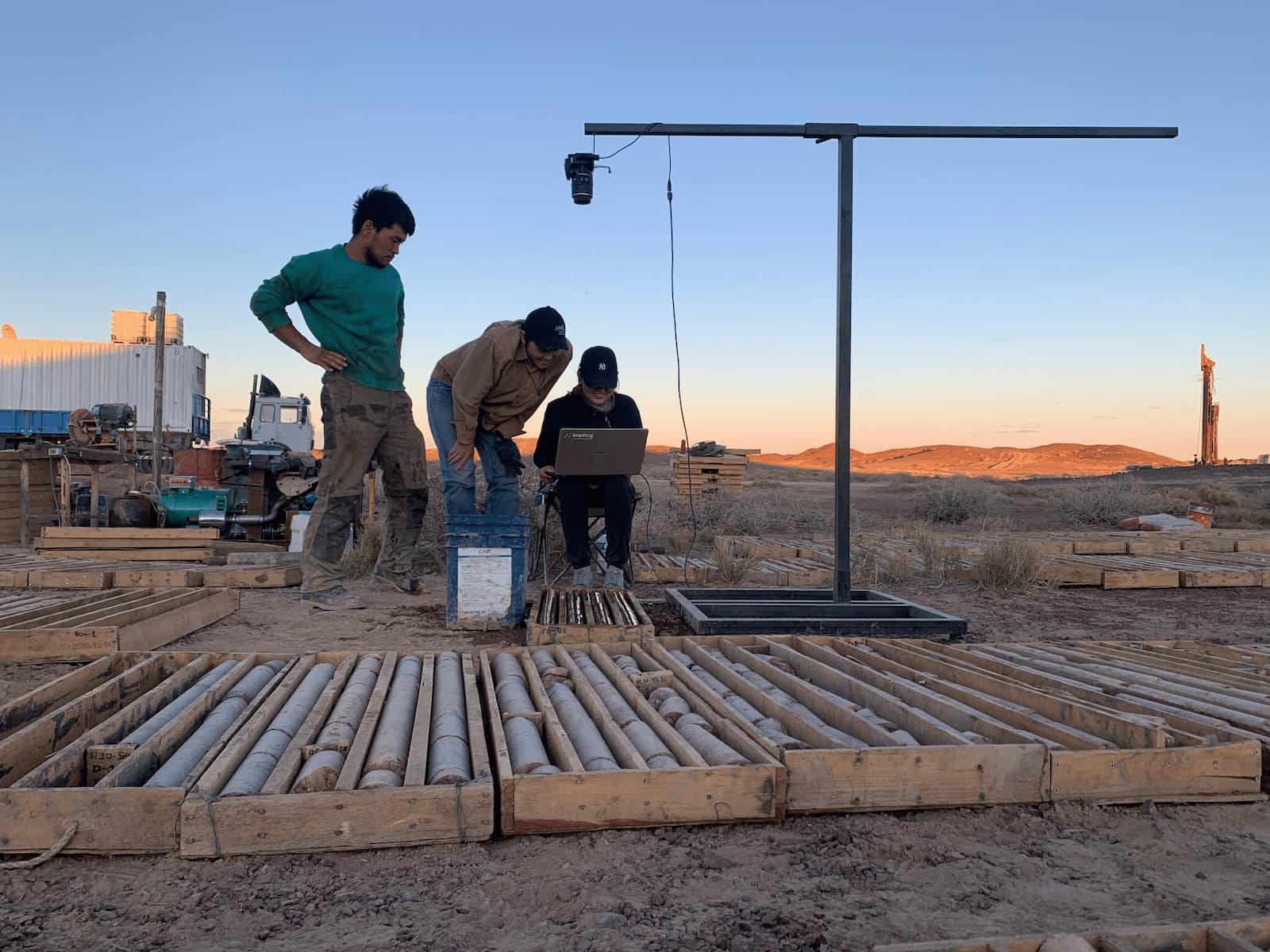
When photographs of primary data like core and chips were first taken, they were more of an insurance against loss than anything else. But with increased demand for data verification, analysis, and consensus the use of images has grown significantly.
As core sheds can be destroyed, or the core itself deteriorates over time, good-quality photographs provide assurance for your investment and preserve the original insights made when drilling first began.
Storage and handling of these valuable geoscientific images, however, can often be haphazard. Locating images may be a challenge, as they are often stored on file servers that are difficult to navigate, maintain or share.
Sending large files could be tricky with drillers using WhatsApp, for example, to communicate from the field or geologists painstakingly selecting and copying images to their laptops to take to meetings (in the hope they’re the important ones). Wouldn’t it be better to have easy, instant access to all of your images?
And, if photographs are poorly captured, how confident can you be in what you’re looking at?
Technology can improve image capture but that’s just one part of the process, there’s also cataloguing (a tedious job if done manually) and connecting images effectively to other processes, such as modelling for better, more collaborative decision-making.
“As the volume and forms of data continue to skyrocket, particularly with hardware such as sensors becoming cheaper, data owners are presented with new challenges,” says Rob.
“With often the burden of managing the data falling on those least experienced, and becoming a distraction from their core focus, leading to more inefficiencies,” he adds.
Get the full picture with Imago
How can we solve the issue of managing and extracting maximum value from our image data so the industry can simply focus on getting down to business?
Seequent understands that technology needs to be the enabler and driver of this change.
“Rather than take on more tedious tasks, we want to free the geologist to be the best they can be,” says Rob. “Being able to think geology first and software second is the ethos behind everything we do.”
This is where Imago’s cloud-based solution comes into its own. The platform consolidates images from any source, transformed into meaningful insights and connected to the appropriate geological or mining activity.
“You can easily access, share, integrate and extract insights from your high-quality images, to reduce costs, improve accuracy, save time, facilitate auditing and improve image quality,” explains Rob.
Fully agnostic users (hardware and data customers) can connect seamlessly with other software to streamline and create new workflows and make more confident decisions.
“It’s geology made easy,” says Federico Arboleda, Imago’s founder. “Storage is integrated across a much broader imagery management value chain, delivering geological benefits within a geological context, wherever you need to democratise visual insights.”
“For example, if major mining companies are drilling in 18 countries, they are all required to be working in the same way, to keep up with drilling,” says Federico. “Or, if management needs to review core, they can simply log into their Imago Portal to collaborate, communicate and help with decision making.”
Expect high-performance and fast viewing
Imago Capture works offline or online, making it suitable for mobile exploration sites as well as core sheds in mature mining environments. When online, images are synced with the Imago Portal making them instantly available to geology and management teams.
Imago’s open tech and architecture mean access to high-performance images via your web browser. As well, you can load, in full resolution, the portion of the image you are currently seeing with smooth, fast navigation.
“If, for example, you need to validate a contact, vein or fault on one of your drillholes, simply go to the browser and log into Imago Portal, where the platform is optimised to show thousands of GB images – superfast,” explains Federico.
It’s clear to see how Imago can help mitigate risks, by deploying images safely and securely in a virtual core shed. The seamless process also provides end-to-end auditing, validating and collaboration. It insures against lost core, degradation, damage or if the core isn’t easily accessible off-site.
With enterprise security and architecture, including SSO (Single Sign On) and role-based access permissions (subscription, owner, contributor, and viewer) it is already in daily use at several of the world’s Tier 1 exploration and mining operations, with a history of high availability, low outages and zero data loss.
“By providing a secure cloud-hosted solution for managing large files it also obviates the need for capital investment in IT hardware and could solve your image storage issues for good,” says Federico.
Transform photo data into meaningful insights
Imago was founded to help exploration and mining companies manage the high volume and size of geoscientific images to unlock value, in contrast to other providers who focused on including proprietary hardware as part of their product offering.
Being an agnostic solution in both hardware and integration, this allows images to be integrated with other geological data and modelling tools including Leapfrog, MX Deposit, Oasis montaj, and Target.
“You can export image textured meshes inside your modelling tools, view core trays or linearised downhole images alongside drillholes, and quickly zoom in and out of a particular depth at the speed of Google Maps,” says Frederico.
“This instant, fast access to images brings rich information to support interpretation and 3D modelling – an integration that avoids floundering around trying to use files to integrate with modelling packages,” he adds.
Imago’s open API ensures you own the data, can access it where and how you like and means it’s easy to add new integrations. Recognising the importance of this openness and interoperability is a driving force for innovation at Seequent.
“We see the opportunity to integrate Imago further into other industries, like civil and energy, to help geoscientists and engineers solve more of their earth, environment, and energy challenges,” says Rob.
Informed decisions across the whole team
Any data management solution needs to facilitate open interoperability and the provision of flexible tools for data import and export.
“We are known for ease of use and openness towards data and want geologists to have a more holistic view of their data,” says Rob. “And we’ll continue to take this further towards being able to consume even more new generational data sets and new technologies.”
In pursuit of this Seequent remains a key collaborator member of the Global Mining Guidelines (GMG) Group’s Open Mining initiative, which is creating an open standard for mining information.
Rob concludes, “When you consider that 100,000 metres of drilling can create 30,000 images all over 100s of MB each, it’s not difficult to see the problems that can arise if good image management isn’t prioritised.”
“Imago provides an effective way to manage and extract value. It’s the next best thing to looking down on the core in the shed, your high-resolution images are available anytime via the cloud and for use in virtually any way you want them.”
“You can view, share, collaborate and seamlessly integrate images into your modelling to transform your photo data into meaningful insights,” adds Rob.
“Leaving you free to focus on the geology and help unlock valuable potential across all your mining industry projects.”