


Discover how Oasis montaj Acquisition tools can enhance your geophysical survey planning, data processing and quality control workflows in this webinar.
Join Senior Geophysicist Jack in this webinar exploring key modules in Oasis montaj, including airborne quality control, UAV geophysics, and geophysical levelling, showcasing examples of how they can simplify the quality assurance and quality control process, efficient UAV survey planning and robust data levelling workflows. Gain insights into how these tools can help you save time during the acquisition phase of your projects and allow more time for data interpretation.
Key topics we will cover:
- Various Airborne QAQC operations such as altitude and flightline deviations and plotting them
- UAV survey planning whilst remaining compliant with Visual Line of Sight (VLOS) requirements
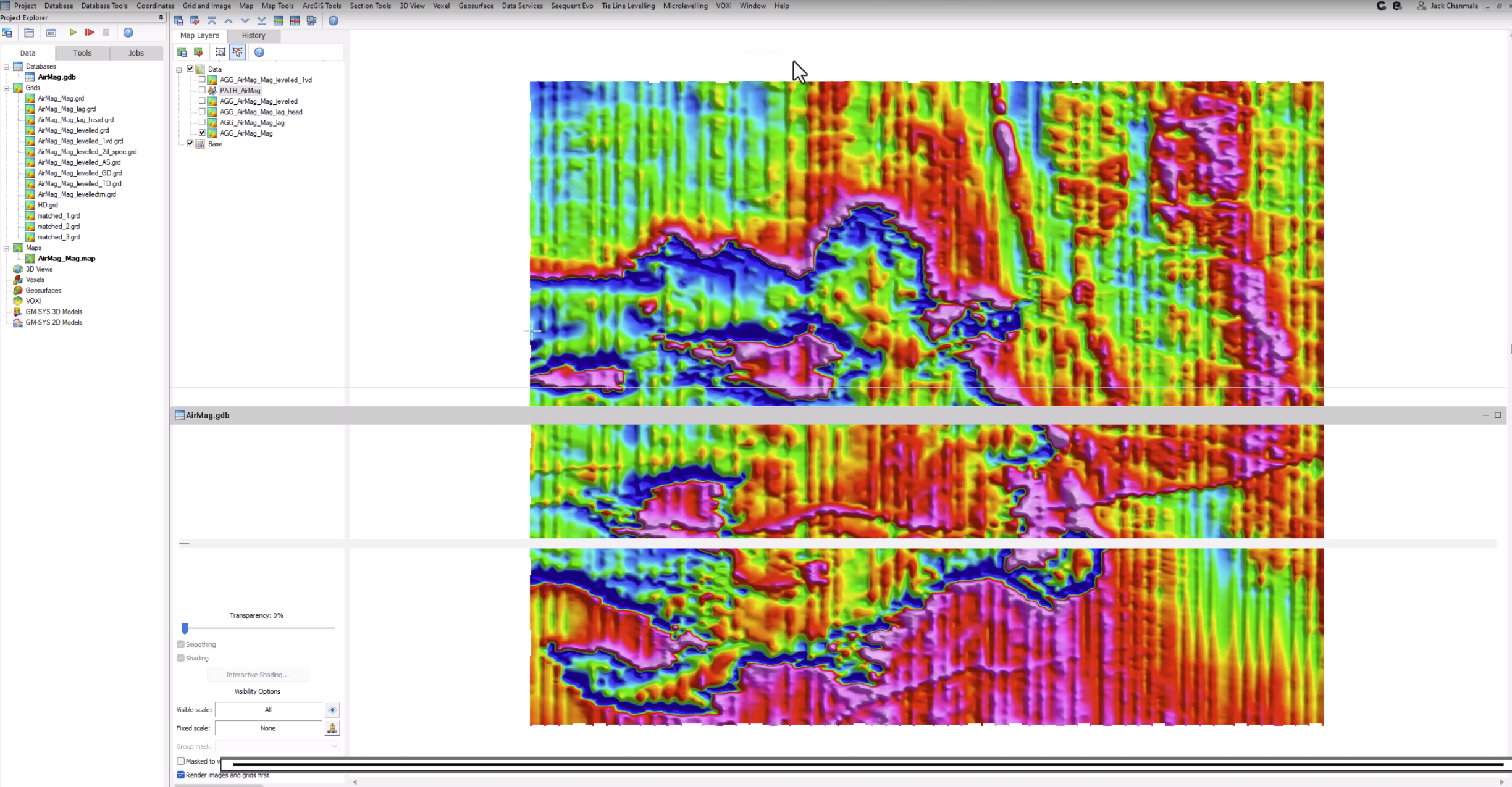
- Corrections such as lag and heading, IGRF and micro levelling.
Overview
Speakers
Jack Chanmala, Senior Geophysicist – Seequent Limited
Duration
51:22 mins
