Streamline site investigation with cloud-connected data management
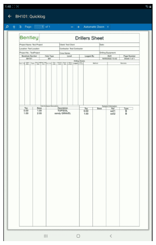
OpenGround is the cloud evolution of gINT, designed to make borehole log production seamless
Buy nowA single source of truth, available 24/7
OpenGround replaces clunky and error-prone manual processes to make site investigation more efficient and accurate.
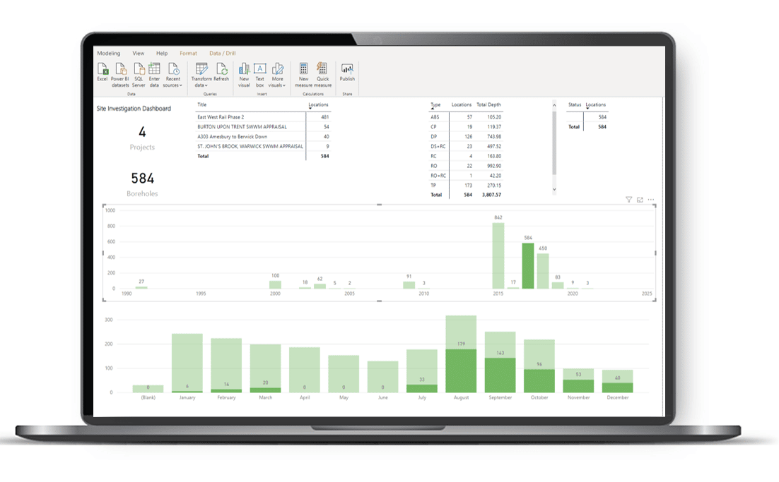
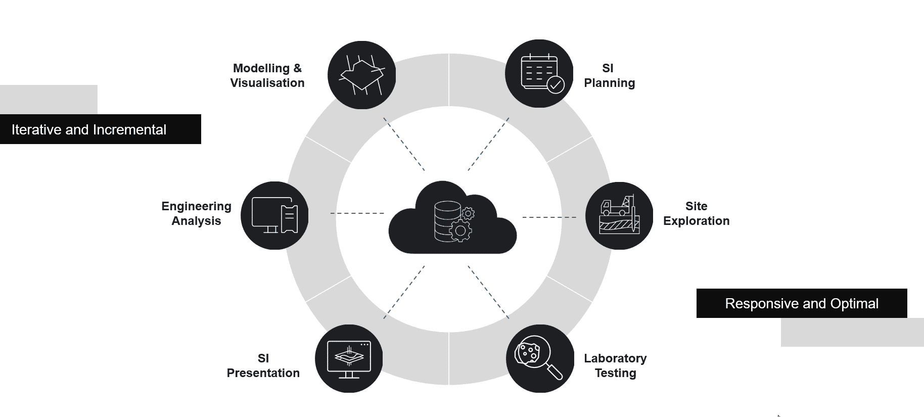
Users can enter data into a single repository from mobile and desktop devices and access data anywhere, anytime, enabling them to make better decisions at all stages – from site exploration and laboratory testing to modelling and engineering analysis.
Simplify shift management for optimal productivity and auditing
For owner operators attempting to keep track of what’s been drilled and what’s been found, the shift change can be a fuzzy moment in their confidence and a crucial gap in their knowledge – a gap that may prevent them from making agile, informed decisions on what could and should happen next.
OpenGround lets project managers see what’s been logged in real time and start evaluating immediately so they can adjust the project while the crew is still on site.
Centralize data management
Maintain an accessible single source of truth for all your geotechnical project data. Save time, collect, and synchronize while on site. Control access to federated data across distributed teams and the wider supply chain.
Advance digital workflows
Work with intelligent data that integrates into the full context of the design. Provide dynamic visualisations and standardised enterprise reporting using trusted data. Increase collaboration throughout a connected geotechnical data lifecycle.


Related Stories
See all
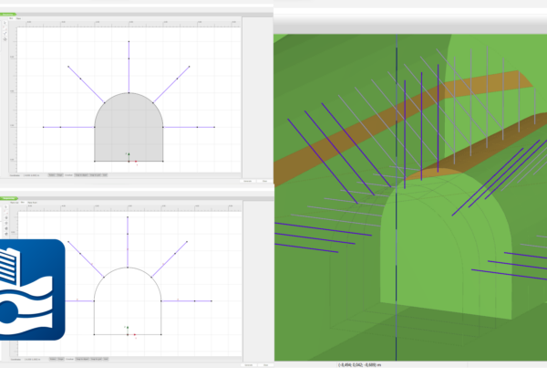
PLAXIS 2024.1 – What’s New
With PLAXIS 2024.1 users benefit from enhancements for designing and reinforcing underground excavations, improvement in…