
Humans have coexisted with potential geological and other natural disasters since the dawn of time. Volcanic eruptions, earthquakes, typhoons, and hurricanes have contributed to significant loss of life every year — including this year — but improvements in science continue to reduce loss of life, despite continued threats.
The danger of living near fault lines
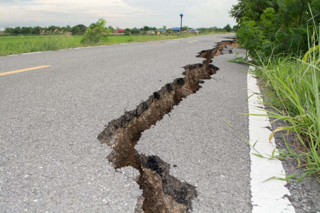
Living near fault lines is inherently dangerous but difficult to avoid. Evidence suggests that humans congregating around tectonic faults (areas where the plates that make up the lithosphere above the Earth’s mantle travel and sometimes cause earthquakes) was no accident. It appears that these areas may be more bio-diverse than areas less prone to earthquakes.
Now, with huge numbers of people inhabiting earthquake-prone areas such as San Francisco and Los Angeles, as well as Istanbul, Mexico City, and many other metropolitan areas, it’s clear that these high-population cities aren’t likely to disappear.
The dangers people face include not only tremors but also other threats: Widespread smoke and ash can pollute the air and block out the sun for miles in every direction. Mudflows and landslides are potential threats as well. Despite major advances in engineering and the construction of earthquake “proof” buildings, many buildings — both historical and new — do not employ these safety precautions.
Geoscientists are working tirelessly to predict, plan for, and mitigate natural disasters. Loss of life and major injuries are common, as is the very visible loss of buildings, food, and potable water. Loss of infrastructure complicates these matters, and refugee camps and temporary shelter are ripe for health issues, including sanitation and spreading illness. On top of all that, many populations remain in these damaged or destroyed areas because they have no choice.
Using technology to reduce the risks
As worldwide populations continue to expand, metropolitan areas become increasingly densely populated, which increases potential threats during and after natural disasters. In addition to the “shaker” type of earthquake we’re all familiar with, the September 2018 earthquake and tsunami that ravaged Palu, Indonesia, included liquefaction, a phenomenon in which soil behaves like liquid. Geoscientists found in 2012 that Palu and other areas were at high risk for liquefaction. They used technological advances such as seafloor sensors, tidal measurement tools, and seismic stations and the resulting data to determine specific details and estimate how earthquakes might play out.
In fact, technology has come a long way in helping reduce earthquake risks. Tectonically active areas with high populations provide data that, if analyzed thoroughly, can provide essential insight into how a specific location might respond to an earthquake. Groundbreaking doctoral research led by Folarin Kolawole through Oklahoma State University cites filtering and interpreting “high-resolution aeromagnetic data in tectonically-active areas with large human populations can be extremely useful for assessing the seismic hazards.” Kolawole’s study showed connections between factors that were previously unlinked, leveraging limited data from a series of sources, such as rock strength, previous incidents of earthquake, and aeromagnetics.
Using Oasis montaj, our software solution that provides modeling and analysis tools, to filter and explore this data gave Kolawole unprecedented insight into how environmental factors work together to reveal likely outcomes. This kind of data collection and analysis will lead to safer cities, earlier and more accurate detection and preparedness actions, and less loss of life and property, as well as reduced strain on infrastructure.
Preparation is key
Preparing for events we can’t predict is a challenging endeavor. However, we still have much to learn about earthquakes and many opportunities to advance. Understanding the Earth’s subsurface and subsea environments brings us that much closer to reducing or eliminating drastic loss of life, livelihood, and infrastructure by preparing for the worst using flexible, data-driven methods.